
Barnstaple topographic map
Click on the map to display elevation.
About this map
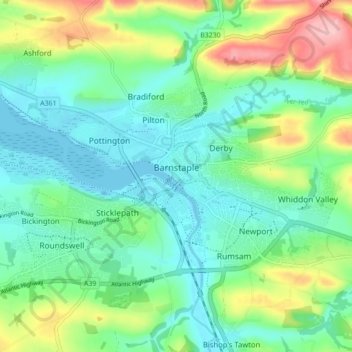
Name: Barnstaple topographic map, elevation, terrain.
Location: Barnstaple, North Devon, Devon, England, United Kingdom (51.06340 -4.08995 51.09456 -4.00251)
Average elevation: 47 m
Minimum elevation: -2 m
Maximum elevation: 164 m