
Urús topographic map
Interactive map
Click on the map to display elevation.
About this map
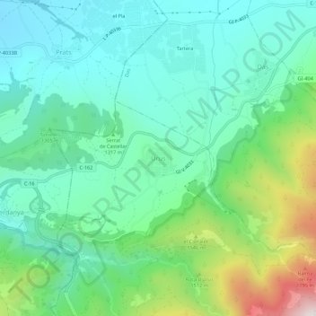
Name: Urús topographic map, elevation, terrain.
Location: Urús, Cerdagne, Gérone, Catalogne, 17538, Espagne (42.33204 1.83341 42.37204 1.87341)
Average elevation: 1,309 m
Minimum elevation: 1,058 m
Maximum elevation: 2,032 m