
Thank you for supporting this site ❤️
Make a donation
Make a donation
Red Hills topographic map
Click on the map to display elevation.
Thank you for supporting this site ❤️
Make a donation
Make a donation
About this map
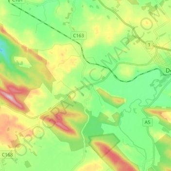
Name: Red Hills topographic map, elevation, terrain.
Location: Red Hills, Meander Valley, Tasmania, Australia (-41.56544 146.51807 -41.50135 146.64306)
Average elevation: 284 m
Minimum elevation: 168 m
Maximum elevation: 488 m
Thank you for supporting this site ❤️
Make a donation
Make a donation