
Lohit topographic map
Interactive map
Click on the map to display elevation.
About this map
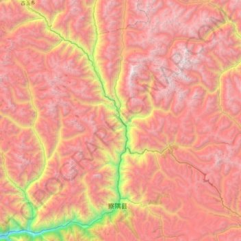
Name: Lohit topographic map, elevation, terrain.
Location: Lohit, Zayu, Zayü County, Nyingchi City, Tibet, PRC (28.57894 97.10157 29.15263 97.49390)
Average elevation: 4,251 m
Minimum elevation: 1,796 m
Maximum elevation: 5,952 m