
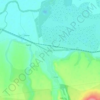
Mândra topographic map
Interactive map
Click on the map to display elevation.
About this map
Name: Mândra topographic map, elevation, terrain.
Location: Mândra, Brașov, 507125, Romania (45.80289 25.02666 45.84289 25.06666)
Average elevation: 442 m
Minimum elevation: 419 m
Maximum elevation: 511 m