
Thank you for supporting this site ❤️
Make a donation
Make a donation
Upper topographic map
Click on the map to display elevation.
Thank you for supporting this site ❤️
Make a donation
Make a donation
About this map
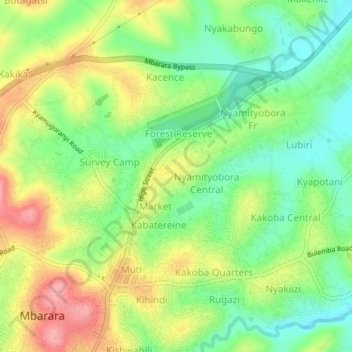
Name: Upper topographic map, elevation, terrain.
Location: Upper, Mbarara City, Western Region, Uganda (-0.61496 30.64853 -0.57496 30.68853)
Average elevation: 1,401 m
Minimum elevation: 1,351 m
Maximum elevation: 1,467 m
Thank you for supporting this site ❤️
Make a donation
Make a donation