
Pogórska Wola topographic map
Interactive map
Click on the map to display elevation.
About this map
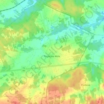
Name: Pogórska Wola topographic map, elevation, terrain.
Average elevation: 236 m
Minimum elevation: 215 m
Maximum elevation: 263 m
Other topographic maps
Click on a map to view its topography, its elevation and its terrain.
Korzenna
Poland > Lesser Poland Voivodeship > Tarnów County > Lubinka > Korzenna
Korzenna, Lubinka, gmina Pleśna, Tarnów County, Lesser Poland Voivodeship, 33-181, Poland
Average elevation: 383 m