
Thank you for supporting this site ❤️
Make a donation
Make a donation
Mullins Point topographic map
Click on the map to display elevation.
Thank you for supporting this site ❤️
Make a donation
Make a donation
About this map
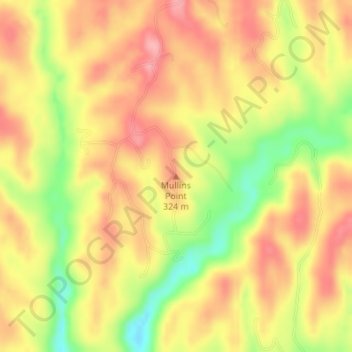
Name: Mullins Point topographic map, elevation, terrain.
Location: Mullins Point, Wolfe County, Kentucky, United States (37.67915 -83.56087 37.67925 -83.56077)
Average elevation: 289 m
Minimum elevation: 219 m
Maximum elevation: 333 m
Thank you for supporting this site ❤️
Make a donation
Make a donation