
Waterberg topographic map
Interactive map
Click on the map to display elevation.
About this map
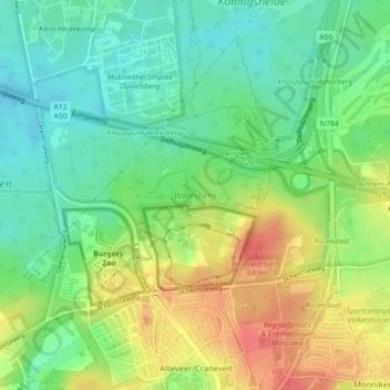
Name: Waterberg topographic map, elevation, terrain.
Location: Waterberg, Arnheim, Geldern, Niederlande (52.00815 5.89257 52.02052 5.92545)
Average elevation: 57 m
Minimum elevation: 33 m
Maximum elevation: 90 m