
Ottersbach topographic map
Interactive map
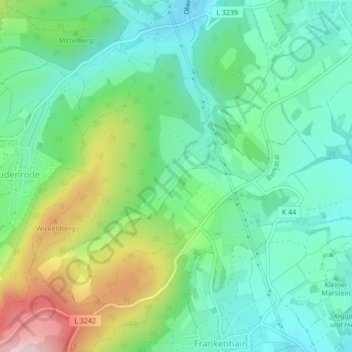
Click on the map to display elevation.
About this map
Name: Ottersbach topographic map, elevation, terrain.
Average elevation: 350 m
Minimum elevation: 256 m
Maximum elevation: 566 m
Other topographic maps
Click on a map to view its topography, its elevation and its terrain.
Ellershausen
Deutschland > Hessen > Bad Sooden-Allendorf
Ellershausen, Bad Sooden-Allendorf, Werra-Meißner-Kreis, Regierungsbezirk Kassel, Hessen, Deutschland
Average elevation: 204 m