
Bota topographic map
Interactive map
Click on the map to display elevation.
About this map
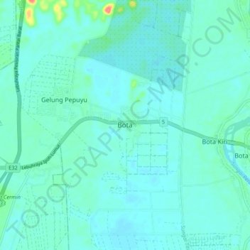
Name: Bota topographic map, elevation, terrain.
Location: Bota, Perak Tengah, Perak, 32600, Malaysia (4.32080 100.80193 4.40080 100.88193)
Average elevation: 16 m
Minimum elevation: 7 m
Maximum elevation: 73 m