
Urftsee topographic map
Interactive map
Click on the map to display elevation.
About this map
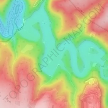
Name: Urftsee topographic map, elevation, terrain.
Average elevation: 397 m
Minimum elevation: 277 m
Maximum elevation: 519 m
Other topographic maps
Click on a map to view its topography, its elevation and its terrain.
Herhahn
Duitsland > Noordrijn-Westfalen > Kreis Euskirchen > Schleiden
Herhahn, Schleiden, Kreis Euskirchen, Noordrijn-Westfalen, 53937, Duitsland
Average elevation: 483 m