
Rubjerg topographic map
Interactive map
Click on the map to display elevation.
About this map
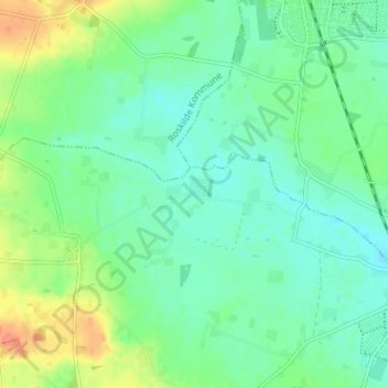
Name: Rubjerg topographic map, elevation, terrain.
Location: Rubjerg, Køge Kommune, 4623, Dänemark (55.50269 12.07692 55.54269 12.11692)
Average elevation: 28 m
Minimum elevation: 14 m
Maximum elevation: 57 m