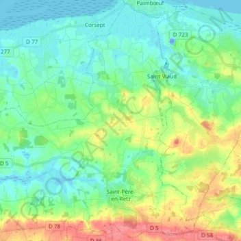
Saint-Père-en-Retz topographic map
Interactive map
Click on the map to display elevation.
About this map
Name: Saint-Père-en-Retz topographic map, elevation, terrain.
Average elevation: 19 m
Minimum elevation: -20 m
Maximum elevation: 63 m

Click on the map to display elevation.
Name: Saint-Père-en-Retz topographic map, elevation, terrain.
Average elevation: 19 m
Minimum elevation: -20 m
Maximum elevation: 63 m