
Thank you for supporting this site ❤️
Make a donation
Make a donation
Couteaux topographic map
Click on the map to display elevation.
Thank you for supporting this site ❤️
Make a donation
Make a donation
About this map
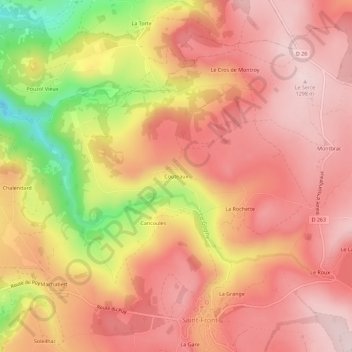
Name: Couteaux topographic map, elevation, terrain.
Average elevation: 1,193 m
Minimum elevation: 976 m
Maximum elevation: 1,297 m
Thank you for supporting this site ❤️
Make a donation
Make a donation
Other topographic maps
Click on a map to view its topography, its elevation and its terrain.
Lac de Saint-Front
France > Auvergne-Rhône-Alpes > Haute-Loire > Saint-Front > Le Lac
Average elevation: 1,269 m