
Thank you for supporting this site ❤️
Make a donation
Make a donation
Kistanje topographic map
Click on the map to display elevation.
Thank you for supporting this site ❤️
Make a donation
Make a donation
About this map
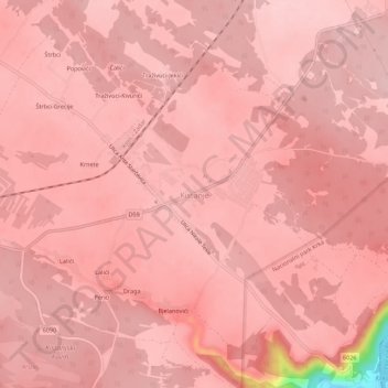
Name: Kistanje topographic map, elevation, terrain.
Location: Kistanje, Općina Kistanje, Šibenik-Knin County, 22305, Croatia (43.96143 15.94533 44.00143 15.98533)
Average elevation: 236 m
Minimum elevation: 71 m
Maximum elevation: 252 m
Thank you for supporting this site ❤️
Make a donation
Make a donation
Other topographic maps
Click on a map to view its topography, its elevation and its terrain.