
Nuku Hiva topographic map
Interactive map
Click on the map to display elevation.
Nuku Hiva
On the western edge of To'ovi'i rises Tekao, the island's highest peak, which reaches an elevation of 1224 m (4,016 ft). The western and northern edges of To'ovi'i are a mountain ridge, which catches much of the rain that waters the island.
About this map
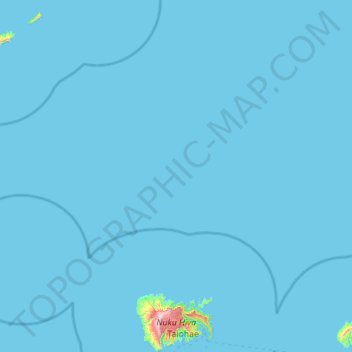
Name: Nuku Hiva topographic map, elevation, terrain.
Average elevation: 10 m
Minimum elevation: 0 m
Maximum elevation: 1,199 m