
Puquina topographic map
Interactive map
Click on the map to display elevation.
About this map
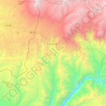
Name: Puquina topographic map, elevation, terrain.
Location: Puquina, General Sánchez Cerro, Moquegua, Perú (-16.85874 -71.29604 -16.46056 -71.01373)
Average elevation: 3,112 m
Minimum elevation: 1,034 m
Maximum elevation: 5,552 m