
Sakharwadi topographic map
Interactive map
Click on the map to display elevation.
About this map
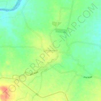
Name: Sakharwadi topographic map, elevation, terrain.
Location: Sakharwadi, Phaltan, Satara, Maharashtra, 415528, India (18.03625 74.31498 18.07625 74.35498)
Average elevation: 551 m
Minimum elevation: 530 m
Maximum elevation: 577 m