
Thank you for supporting this site ❤️
Make a donation
Make a donation
Kampung Kelat Rendang topographic map
Click on the map to display elevation.
Thank you for supporting this site ❤️
Make a donation
Make a donation
About this map
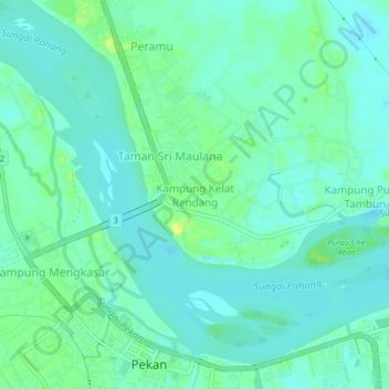
Name: Kampung Kelat Rendang topographic map, elevation, terrain.
Location: Kampung Kelat Rendang, Pekan, Pahang, 26600, Malaysia (3.48749 103.37844 3.52749 103.41844)
Average elevation: 6 m
Minimum elevation: -4 m
Maximum elevation: 20 m
Thank you for supporting this site ❤️
Make a donation
Make a donation