
Oberndorf topographic map
Interactive map
Click on the map to display elevation.
About this map
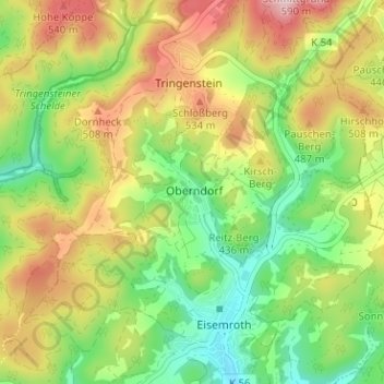
Name: Oberndorf topographic map, elevation, terrain.
Location: Oberndorf, Siegbach, Lahn-Dill-Kreis, Hessen, 35768, Deutschland (50.72933 8.39099 50.76933 8.43099)
Average elevation: 430 m
Minimum elevation: 318 m
Maximum elevation: 575 m