
Sköllersta topographic map
Interactive map
Click on the map to display elevation.
About this map
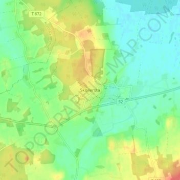
Name: Sköllersta topographic map, elevation, terrain.
Location: Sköllersta, Hallsbergs kommun, Örebro län, 69774, Zweden (59.11769 15.31770 59.15769 15.35770)
Average elevation: 41 m
Minimum elevation: 21 m
Maximum elevation: 73 m