
Thank you for supporting this site ❤️
Make a donation
Make a donation
Pisgah topographic map
Click on the map to display elevation.
Thank you for supporting this site ❤️
Make a donation
Make a donation
About this map
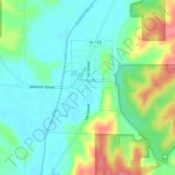
Name: Pisgah topographic map, elevation, terrain.
Location: Pisgah, Harrison County, Iowa, United States (41.82316 -95.93445 41.83770 -95.91986)
Average elevation: 343 m
Minimum elevation: 317 m
Maximum elevation: 399 m
Thank you for supporting this site ❤️
Make a donation
Make a donation