
Thank you for supporting this site ❤️
Make a donation
Make a donation
Al-Basrah District topographic map
Click on the map to display elevation.
Thank you for supporting this site ❤️
Make a donation
Make a donation
About this map
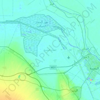
Name: Al-Basrah District topographic map, elevation, terrain.
Location: Al-Basrah District, Al-Basra Governorate, Iraq (30.38163 47.34321 30.77631 47.88556)
Average elevation: 7 m
Minimum elevation: -22 m
Maximum elevation: 68 m
Thank you for supporting this site ❤️
Make a donation
Make a donation
Other topographic maps
Click on a map to view its topography, its elevation and its terrain.