
Homberg topographic map
Interactive map
Click on the map to display elevation.
About this map
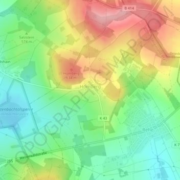
Name: Homberg topographic map, elevation, terrain.
Location: Homberg, Rennerod, Westerwaldkreis, Rheinland-Pfalz, Deutschland (50.62806 8.09144 50.65222 8.12106)
Average elevation: 574 m
Minimum elevation: 517 m
Maximum elevation: 654 m