
Thank you for supporting this site ❤️
Make a donation
Make a donation
Cameron topographic map
Click on the map to display elevation.
Thank you for supporting this site ❤️
Make a donation
Make a donation
About this map
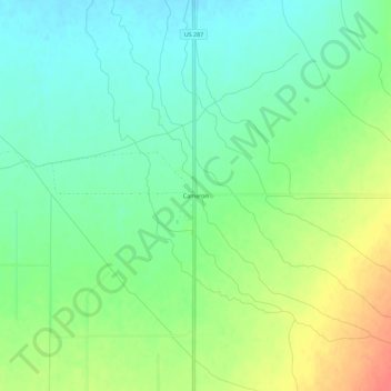
Name: Cameron topographic map, elevation, terrain.
Location: Cameron, Madison County, Montana, United States (45.18326 -111.69858 45.22326 -111.65858)
Average elevation: 1,642 m
Minimum elevation: 1,622 m
Maximum elevation: 1,676 m
Thank you for supporting this site ❤️
Make a donation
Make a donation