
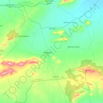
M'Chira ⵎⵛⵉⵔⴰ المشيرة topographic map
Interactive map
Click on the map to display elevation.
About this map
Name: M'Chira ⵎⵛⵉⵔⴰ المشيرة topographic map, elevation, terrain.
Location: M'Chira ⵎⵛⵉⵔⴰ المشيرة, Daïra Teleghma, Mila, Algerien (35.93054 6.13966 36.09790 6.32484)
Average elevation: 899 m
Minimum elevation: 762 m
Maximum elevation: 1,259 m