
Şirinköy topographic map
Interactive map
Click on the map to display elevation.
About this map
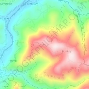
Name: Şirinköy topographic map, elevation, terrain.
Location: Şirinköy, Çatalpınar, Ordu, Black Sea Region, Turkey (40.87347 37.46690 40.90180 37.50063)
Average elevation: 288 m
Minimum elevation: 91 m
Maximum elevation: 548 m