
al-Salloum topographic map
Interactive map
Click on the map to display elevation.
About this map
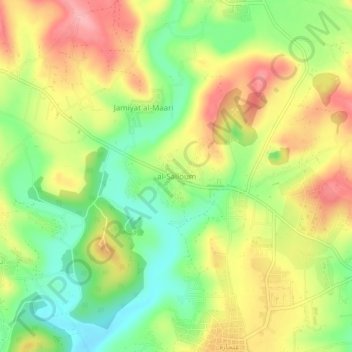
Name: al-Salloum topographic map, elevation, terrain.
Location: al-Salloum, منطقة جبل سمعان, Gouvernorat d'Alep, Syrie (36.21783 36.92066 36.25783 36.96066)
Average elevation: 450 m
Minimum elevation: 393 m
Maximum elevation: 509 m