
Sihor topographic map
Interactive map
Click on the map to display elevation.
About this map
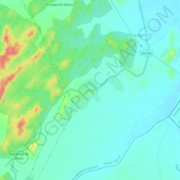
Name: Sihor topographic map, elevation, terrain.
Location: Sihor, Khetri Tehsil, Jhunjhunun, Rajasthan, 333036, India (27.91592 75.89252 27.95592 75.93252)
Average elevation: 360 m
Minimum elevation: 338 m
Maximum elevation: 431 m