
Dadikh topographic map
Interactive map
Click on the map to display elevation.
About this map
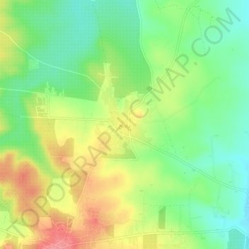
Name: Dadikh topographic map, elevation, terrain.
Location: Dadikh, Gouvernorat d'Idleb, Syrie (35.78139 36.71335 35.82139 36.75335)
Average elevation: 434 m
Minimum elevation: 398 m
Maximum elevation: 481 m