
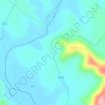
Burambad topographic map
Interactive map
Click on the map to display elevation.
About this map
Name: Burambad topographic map, elevation, terrain.
Location: Burambad, Sangameshwar, Ratnagiri, Maharashtra, India (17.30441 73.49154 17.30661 73.49251)
Average elevation: 32 m
Minimum elevation: 3 m
Maximum elevation: 176 m