
Ruku topographic map
Interactive map
Click on the map to display elevation.
About this map
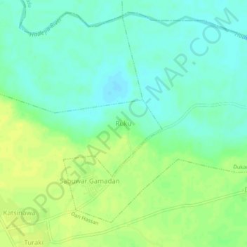
Name: Ruku topographic map, elevation, terrain.
Location: Ruku, Dan Hassan, Kura, Kano, Nigeria (11.78600 8.51967 11.82600 8.55967)
Average elevation: 433 m
Minimum elevation: 424 m
Maximum elevation: 444 m