
Poxtla topographic map
Interactive map
Click on the map to display elevation.
About this map
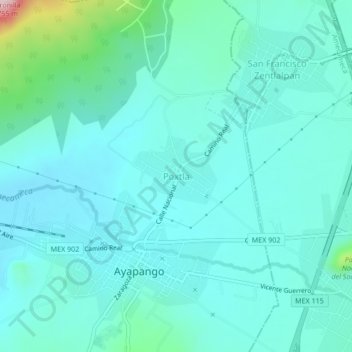
Name: Poxtla topographic map, elevation, terrain.
Location: Poxtla, Ayapango, Estado de México, 56900, México (19.11766 -98.81761 19.15766 -98.77761)
Average elevation: 2,466 m
Minimum elevation: 2,419 m
Maximum elevation: 2,727 m