
Bramhani topographic map
Interactive map
Click on the map to display elevation.
About this map
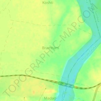
Name: Bramhani topographic map, elevation, terrain.
Location: Bramhani, Tumsar Taluka, Bhandara District, Maharashtra, India (21.34531 79.76948 21.36211 79.79987)
Average elevation: 259 m
Minimum elevation: 244 m
Maximum elevation: 267 m