
Ajanta topographic map
Interactive map
Click on the map to display elevation.
About this map
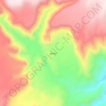
Name: Ajanta topographic map, elevation, terrain.
Location: Ajanta, Province of Lucanas, Ayacucho, Peru (-14.17947 -74.16208 -14.13947 -74.12208)
Average elevation: 3,900 m
Minimum elevation: 3,585 m
Maximum elevation: 4,139 m