
Thank you for supporting this site ❤️
Make a donation
Make a donation
Rotte topographic map
Click on the map to display elevation.
Thank you for supporting this site ❤️
Make a donation
Make a donation
About this map
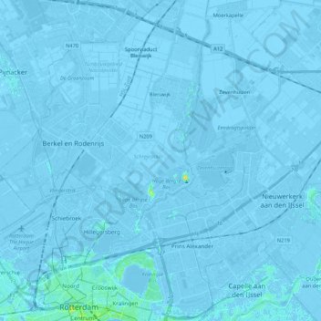
Name: Rotte topographic map, elevation, terrain.
Location: Rotte, Rotterdam, Zuid-Holland, Nederland (51.91864 4.48224 52.04881 4.56363)
Average elevation: -3 m
Minimum elevation: -8 m
Maximum elevation: 21 m
Thank you for supporting this site ❤️
Make a donation
Make a donation
Other topographic maps
Click on a map to view its topography, its elevation and its terrain.