
Horn topographic map
Interactive map
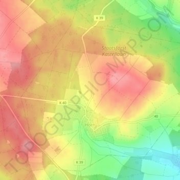
Click on the map to display elevation.
About this map
Name: Horn topographic map, elevation, terrain.
Average elevation: 449 m
Minimum elevation: 388 m
Maximum elevation: 488 m
Horn liegt abseits größerer Straßen mitten im Hunsrück nördlich von Simmern, das über die Kreisstraße 39 und die Landesstraße 218 erreicht wird. In die Gegenrichtung führt die L 218 nach Kastellaun und zur Hunsrückhöhenstraße, der Bundesstraße 327.