
Nichols Point topographic map
Click on the map to display elevation.
About this map
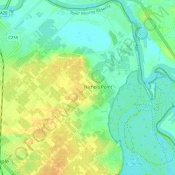
Name: Nichols Point topographic map, elevation, terrain.
Location: Nichols Point, Rural City of Mildura, Victoria, Australia (-34.24040 142.17702 -34.18082 142.24497)
Average elevation: 47 m
Minimum elevation: 35 m
Maximum elevation: 63 m
Other topographic maps
Click on a map to view its topography, its elevation and its terrain.