
สวนสาธารณะอำเภอแกลง topographic map
Interactive map
Click on the map to display elevation.
About this map
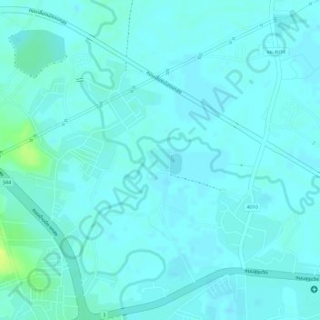
Name: สวนสาธารณะอำเภอแกลง topographic map, elevation, terrain.
Location: สวนสาธารณะอำเภอแกลง, แกลง, บ้านนา, Rayong, Thaïlande (12.79528 101.65584 12.79741 101.65799)
Average elevation: 4 m
Minimum elevation: -1 m
Maximum elevation: 20 m