
Pitztal topographic map
Interactive map
Click on the map to display elevation.
About this map
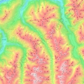
Name: Pitztal topographic map, elevation, terrain.
Average elevation: 2,005 m
Minimum elevation: 734 m
Maximum elevation: 3,486 m
Tot de laatste ijstijd was het begin van het Pitztal een deel van het Inndal. De Inn stroomde vanaf Prutz over de huidige Pillerhoogte verder. Pas na de ijstijd doorbrak de Inn de nauwte van Pontlatz bij Landeck om zo een nieuw stroomgebied te vormen.