
Kothimbe topographic map
Click on the map to display elevation.
About this map
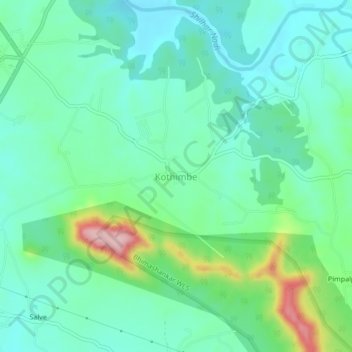
Name: Kothimbe topographic map, elevation, terrain.
Location: Kothimbe, Karjat, Raigad, Maharashtra, 410201, India (18.97548 73.41918 19.01548 73.45918)
Average elevation: 121 m
Minimum elevation: 71 m
Maximum elevation: 272 m