
Thank you for supporting this site ❤️
Make a donation
Make a donation
Imishli District topographic map
Click on the map to display elevation.
Thank you for supporting this site ❤️
Make a donation
Make a donation
About this map
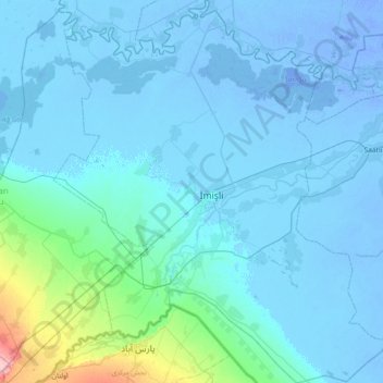
Name: Imishli District topographic map, elevation, terrain.
Location: Imishli District, Mil-Mughan, 3000, Azerbaijan (39.59396 47.75678 40.15643 48.39569)
Average elevation: 5 m
Minimum elevation: -17 m
Maximum elevation: 127 m
Thank you for supporting this site ❤️
Make a donation
Make a donation