
Thank you for supporting this site ❤️
Make a donation
Make a donation
Bagdaha topographic map
Click on the map to display elevation.
Thank you for supporting this site ❤️
Make a donation
Make a donation
About this map
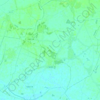
Name: Bagdaha topographic map, elevation, terrain.
Location: Bagdaha, Godaita, Sarlahi, Madhesh Province, Nepal (26.83780 85.42887 26.88307 85.46484)
Average elevation: 81 m
Minimum elevation: 77 m
Maximum elevation: 85 m
Thank you for supporting this site ❤️
Make a donation
Make a donation