
Thank you for supporting this site ❤️
Make a donation
Make a donation
Breehees topographic map
Click on the map to display elevation.
Thank you for supporting this site ❤️
Make a donation
Make a donation
About this map
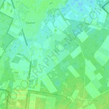
Name: Breehees topographic map, elevation, terrain.
Location: Breehees, Goirle, Noord-Brabant, Nederland, 5051 DD, Nederland (51.48016 5.04713 51.52016 5.08713)
Average elevation: 18 m
Minimum elevation: 12 m
Maximum elevation: 24 m
Thank you for supporting this site ❤️
Make a donation
Make a donation