
Thank you for supporting this site ❤️
Make a donation
Make a donation
Mentmore topographic map
Click on the map to display elevation.
Thank you for supporting this site ❤️
Make a donation
Make a donation
About this map
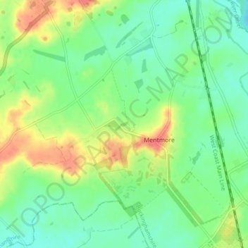
Name: Mentmore topographic map, elevation, terrain.
Location: Mentmore, Buckinghamshire, England, United Kingdom (51.84923 -0.72917 51.89560 -0.66424)
Average elevation: 99 m
Minimum elevation: 79 m
Maximum elevation: 133 m
Thank you for supporting this site ❤️
Make a donation
Make a donation
Other topographic maps
Click on a map to view its topography, its elevation and its terrain.