
Thank you for supporting this site ❤️
Make a donation
Make a donation
Slender Lake topographic map
Click on the map to display elevation.
Thank you for supporting this site ❤️
Make a donation
Make a donation
About this map
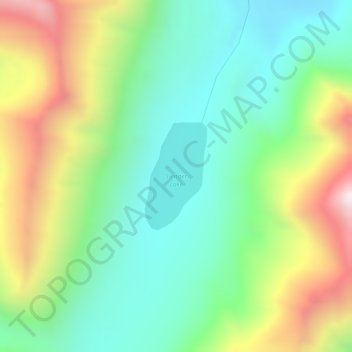
Name: Slender Lake topographic map, elevation, terrain.
Location: Slender Lake, Copper River, Alaska, United States (60.86889 -142.43598 60.87714 -142.42620)
Average elevation: 1,676 m
Minimum elevation: 1,367 m
Maximum elevation: 2,241 m
Thank you for supporting this site ❤️
Make a donation
Make a donation