
Pykara topographic map
Click on the map to display elevation.
About this map
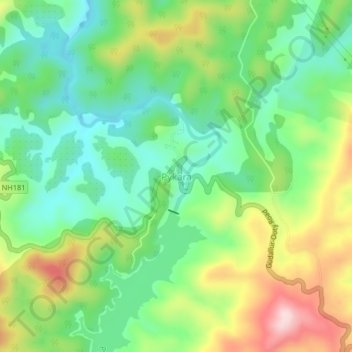
Name: Pykara topographic map, elevation, terrain.
Location: Pykara, Udhagamandalam, Nilgiris, Tamil Nadu, India (11.44642 76.58351 11.48642 76.62351)
Average elevation: 2,104 m
Minimum elevation: 1,998 m
Maximum elevation: 2,285 m
Other topographic maps
Click on a map to view its topography, its elevation and its terrain.
Government Botanical Garden
India > Tamil Nadu > Udhagamandalam > Udhagamandalam
Average elevation: 2,325 m