
Pasel topographic map
Interactive map
Click on the map to display elevation.
About this map
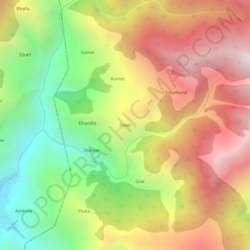
Name: Pasel topographic map, elevation, terrain.
Location: Pasel, Doda, Doda District, Jammu und Kaschmir, 182145, Indien (33.19134 75.36508 33.23134 75.40508)
Average elevation: 2,250 m
Minimum elevation: 1,407 m
Maximum elevation: 3,090 m
Other topographic maps
Click on a map to view its topography, its elevation and its terrain.
Hud
Indien > Jammu und Kaschmir > Doda
Hud, Doda, Doda district, Jammu und Kaschmir, Indien
Average elevation: 1,556 m