
Santágueda topographic map
Interactive map
Click on the map to display elevation.
About this map
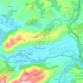
Name: Santágueda topographic map, elevation, terrain.
Location: Santágueda, Ribera de Arriba, Asturias, 33170, España (43.29921 -5.91464 43.33921 -5.87464)
Average elevation: 203 m
Minimum elevation: 99 m
Maximum elevation: 472 m